-
Laurie Mazur, Aspen Institute
Why Women Are Key to Addressing Climate Change, Hunger, Health, and Development
›October 30, 2014 // By Wilson Center StaffPolicymakers typically address issues like climate, food security, development, and reproductive health separately. But that is not how those issues are experienced by women in developing countries. “At the ground level, these issues overlap 100 percent,” said Dr. Yetnayet Asfaw of EngenderHealth during a recent dialogue on global health and development held at the IMF/World Bank Annual Meetings’ Civil Society Policy Forum.
-
Addressing Reproductive Health and Rights in a Post-MDG World Begins With Inequality
› The importance of reproductive health and rights in responding to global climate change and facilitating sustainable development is becoming increasingly clear. But as two articles recently published in The Lancet explain, any post-Millennium Development Goals development agenda that hopes to address these issues must do a better job reaching populations that have largely been excluded from recent advancements.
 -
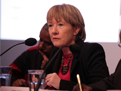
The Red Cross’s Peter Maurer on New Challenges for Humanitarian Aid
›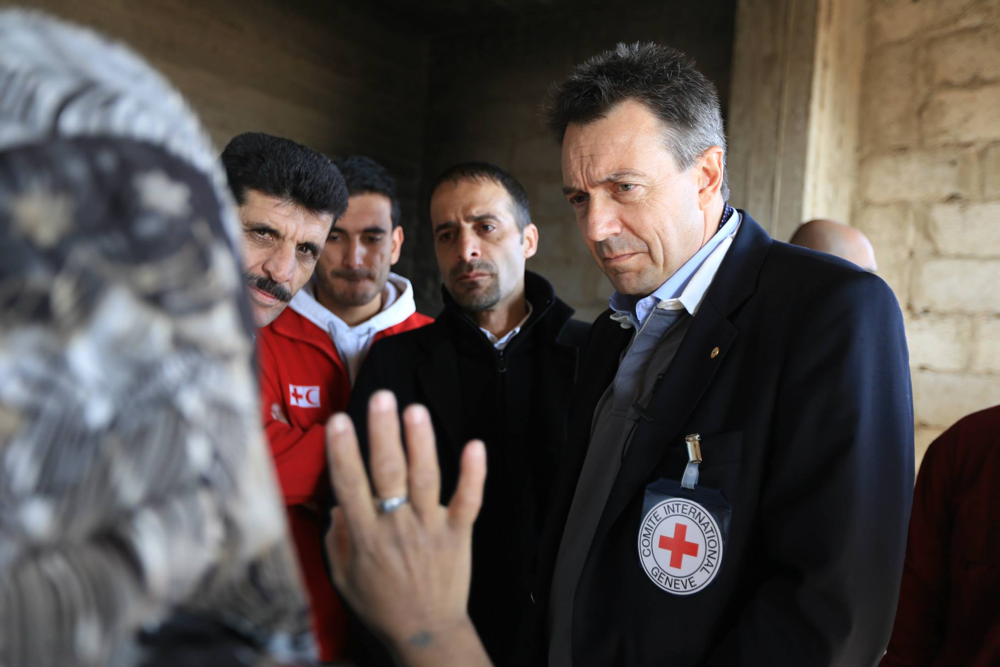
Last year, the International Committee of the Red Cross (ICRC) celebrated 150 years of their mission to “protect the lives and dignity of victims of war and internal violence.” Though this mission hasn’t changed in the past century-and-a-half, the nature of conflict and crisis response has. [Video Below]
-
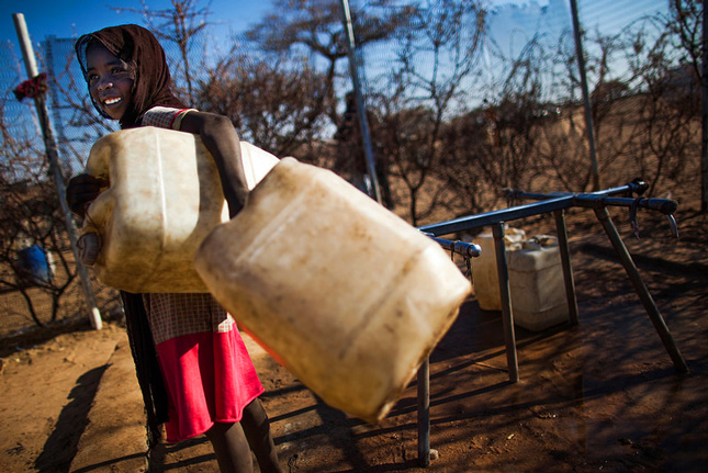
Measurement Matters: Understanding Water Scarcity in an Increasingly Complex World
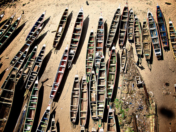
›March 21, 2014 // By Kathleen MogelgaardIt was a scorching hot April afternoon in Keur Moussa, a small farming community about 60 kilometers outside Dakar, Senegal. The landscape was mostly barren and very dry, and a fine red dust settled into our clothes as we walked with community leaders to learn about their efforts to cope with a changing environment. In this part of the world, adapting to climate change is figuring out how to manage water: how to survive for long periods without it, and what to do when too much comes at unexpected times.
-
Opportunity Amidst Conflict: Margie Buchanan-Smith on Long-Distance Trade and Peace-Building in Darfur
›
Trade is “the lifeblood of Darfur’s economy,” says Margie Buchanan-Smith in this week’s podcast.
Buchanan-Smith, a visiting fellow at Tuft University’s Feinstein International Center and the lead author of a recent study on livestock trade in Sudan, presented at the Wilson Center in November about the Feinstein Center’s collaboration with the UN Environment Program studying pastoralism in Sudan during the last decade of conflict.
-
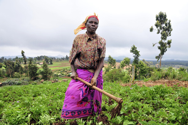
The Farmer’s Dilemma: Climate Change, Food Security, and Human Mobility
›“Most of the world’s poor are farmers; they share the same profession and the same challenges,” said One Acre Fund’s Stephanie Hanson at a recent Wilson Center event on small-scale farming, climate change, food security, and migration. They are tasked with growing enough food to support their families with only tenuous access to land and natural resources, the most basic of tools, and increasingly unpredictable weather patterns to deal with. [Video Below]
-
Youth Farming and Aquaculture Initiatives Aim to Reduce Food and Political Insecurity in Senegal
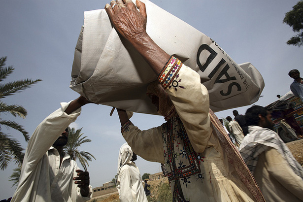
›The 2011-12 West African food crisis led to riots in Senegal and Burkina Faso as well as food insecurity for millions of rural and urban poor across the region. The crisis emerged from a number of factors, including instability in northern Mali, increases in global food prices, and low rainfall in the 2010-2011 and 2011-2012 growing seasons. Many countries in the region are now reassessing and expanding domestic agricultural capabilities. At the top of the agenda for Senegal, a democratic republic on track to reach many Millennium Development Goals, is reducing youth unemployment and increasing domestic agricultural capacity.
-
Measuring Community Resilience: Implications for Development Aid
›A staggering amount of development dollars – one in three, in fact – are lost due to natural disasters and crises. Certain communities are less affected than others by such disasters; they are more resilient. Knowing where vulnerability and strength exist and how to bolster them could help avoid these losses. Yet, today, very little data exists to help development practitioners understand which adaptive capacities are lagging in a given community.
Showing posts from category Sahel.