-
Climate Change is a Security Issue: An Interview with Geoff Dabelko
›
Climate change is a threat multiplier; it is an underlying and exacerbating factor that makes things worse at a level that all actors, including security actors, need to pay attention to, said Geoff Dabelko, Professor and Associate Dean at the George V. Voinovich School of Leadership and Public Affairs at Ohio University and Senior Advisor to the Wilson Center’s Environmental Change and Security Program. He spoke in a recent interview about climate change and security as part of CimpaticoTV’s Climate Adaptation Channel.
-
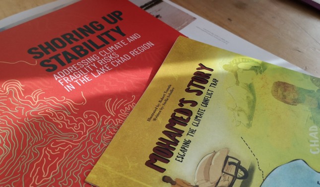
Mohamed’s Story: The Climate Conflict Trap in the Lake Chad Basin
›
Years ago, Mohamed’s family had enough to eat, despite being poor. His daughter owned a vegetable stall at a bustling market in northeastern Nigeria. The family had options: during the dry season, when Lake Chad was shallow, Mohamed could farm; and during the wet season, he could fish or graze his cattle.
-
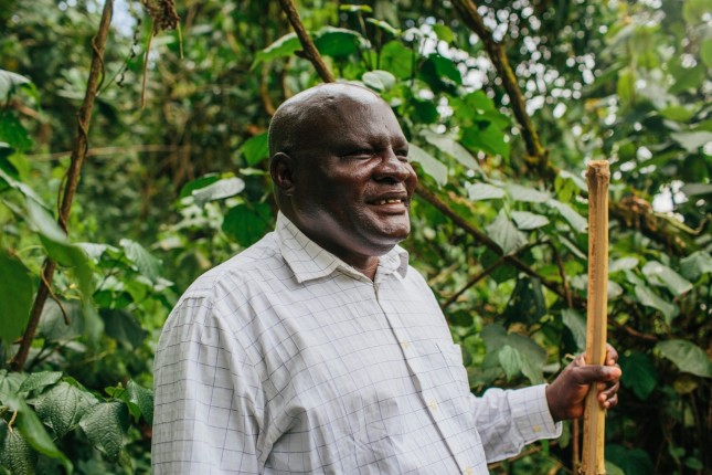
“The River Belongs to the People”: Building Cooperation in the Mara River Basin
›Water engineer Gordon Mumbo of USAID’s Sustainable Water Partnership grew up in the small Kenyan village of Kamuga. Year after year, he watched as frequent floods from one of Kenya’s major rivers, the Nyando, disrupted village life. After 30 years of a wide-ranging career in water, for the first time since his childhood, he has returned to his birthplace, where he leads a team building community engagement in the Mara River basin.
-
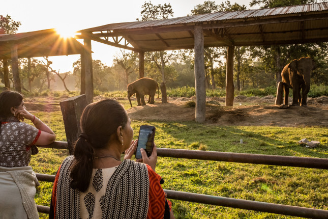
Evaluating Enterprise: Twenty Years of Conservation Through Sustainable Livelihoods
›“It’s not often that we have the opportunity to go back to a site 20 years later and see what happened,” said Cynthia Gill, Director of USAID’s Office of Forestry and Biodiversity during a recent Wilson Center event on a retrospective evaluation of the “conservation enterprise” approach to biodiversity. Conservation enterprises are income-generating activities that provide social and economic benefits and help meet conservation goals.
-
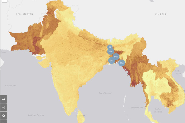
Mapping Climate Security: New Dashboard Tool Visualizes Complex Vulnerability in Asia
›In many parts of South and Southeast Asia, high population density and vulnerability to climate change combine with low levels of household resilience and poor governance to increase security concerns and the potential for political instability. To help identify risks and hotspots in this critical region, the Complex Emergencies and Political Stability in Asia (CEPSA) program at the University of Texas-Austin recently launched the Complex Emergencies Dashboard, which integrates raw data and modeling with mapping technology, allowing users to visually analyze regional security issues. The project was funded by the Department of Defense’s Minerva Initiative, which also supported similar work by the university’s Climate Change and African Political Stability (CCAPS) program.
-
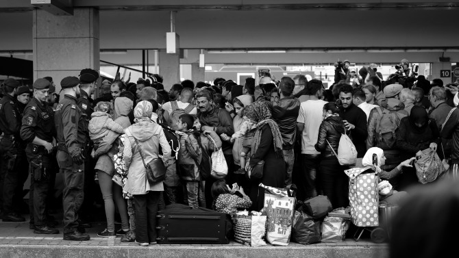
Mapping Refugees and Urban Job Opportunities
›Although most of us picture refugees living in remote, dusty camps, as many as 2.1 million of the developing world’s working-age refugees reside in major urban areas—where they should have greater access to employment opportunities. However, according to a new report from the Center for Global Development, finding employment remains “one of the major unmet needs identified by refugees.”
-
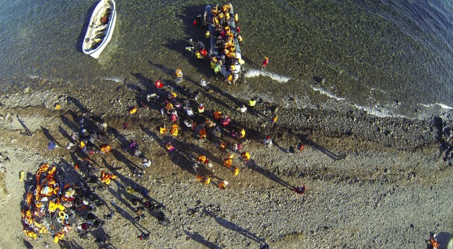
The Rohingya Refugee Crisis: Photos Show Bangladesh Camps Are Vulnerable to Impending Monsoons
›In late 2017, I visited the several Rohingya refugee camps (Leda, Mainner Ghona, & Kutupalong-Balukhali Makeshift Settlements) in Ukhia Upazila (Cox’s Bazar District), Bangladesh. These camps are home to more than a million refugees escaping ethnic violence in Myanmar.
-
Somali Pirates Return as Illegal, Unregulated, and Unreported Fishing Continues in the Gulf of Aden
›After pirates hijacked an Iranian fishing vessel last year near Bosasso, a major seaport in Puntland, Somalia, local authorities observed that the offending boat was casting nets without a license. While piracy has diminished since 2008-2012, when these waters became some of the most lawless in the world, a spate of incidents in 2017-8 has made it clear that the conditions that led to piracy—including incursions from foreign fishing boats—are still a major problem.
Showing posts from category Eye On.